

Multi layered interactive maps can be prepared with the help of Open SDI.

Raster, vector and tabular data in the software can be effectively made use for the preparation or publishing of data.

Every single data is segregated and stored for various purposes. Open SDI promotes providing web services and it has a powerful search engine.
Multi layered interactive maps can be prepared with the help of Open SDI.

Multi layered interactive maps can be prepared with the help of Open SDI. The key feature of our product is that even non specialized users can use the available data and prepare maps.

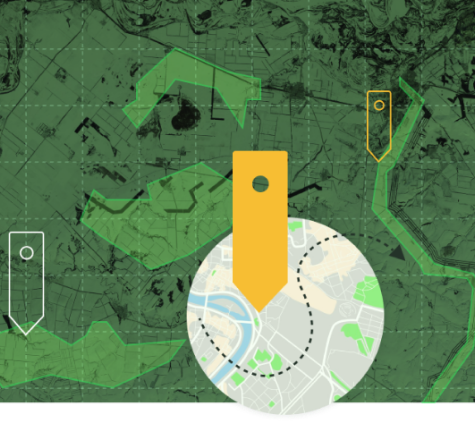
Multi layered interactive maps can be prepared with the help of Open SDI. The key feature of our product is that even non specialized users can use the available data and prepare maps.